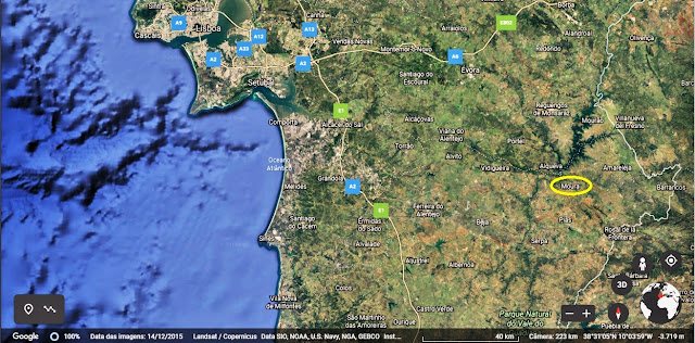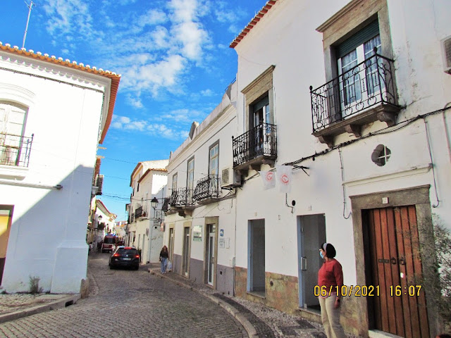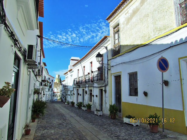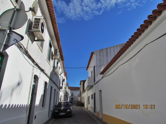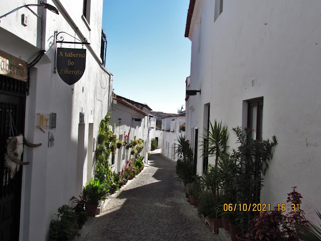
MOURA
38.14282º N; 7.45162º W
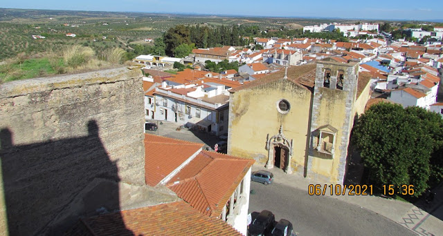
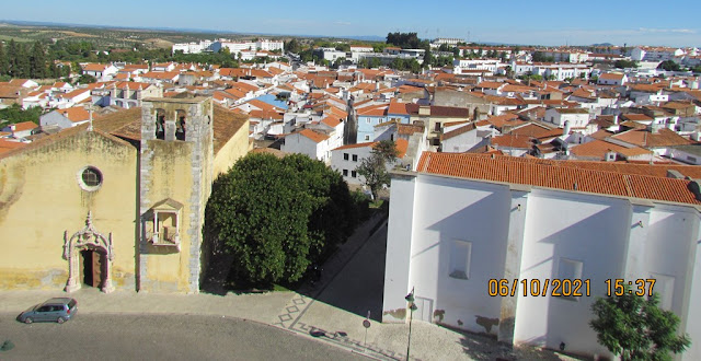
Moura is a Portuguese border town belonging to the district of Beja, Alentejo region and sub-region of Baixo Alentejo, with about 11,000 inhabitants.
It is the seat of the homonymous municipality of Moura which has an area of 958.46 km² and 15 167 inhabitants (2011), subdivided into 5 parishes: Amareleja; Moura (Santo Agostinho and São João Baptista) and Santo Amador; Povoa de São Miguel; Safara and Santo Aleixo da Restoration; Sobral da Addica.
The municipality is limited to the north by the municipality of Mourão, east by Barrancos, east and south by Spain, southwest by Serpa and west by Vidigueira, Portel and Reguengos de Monsaraz.
Climate
Moura has a warm and temperate climate. The climate is classified as Csa according to the Köppen-Geiger climate classification. The average annual temperature is 16.7 °C. The average annual rainfall value is 539 mm.
The rainfall in July, which is the driest month, is 3 mm. Most precipitation falls in December, averaging 75 mm. August is the hottest month of the year, with an average temperature of 24.7 °C. January is the month with the lowest temperature throughout the year (9.6 °C).