FERREIRA DO ALENTEJO
38° 03′ 32″ N, 8° 06′ 56″ W
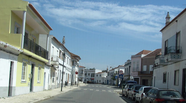
Ferreira do Alentejo, also known only as Ferreira, is a Portuguese village in the district of Beja, Alentejo region and sub-region of Baixo Alentejo, with about 3700 inhabitants in 2013.
It is the seat of the homonymous municipality of Ferreira do Alentejo with an area of 648.25 km² and 7676 inhabitants (2021), subdivided into 4 parishes: Alfundão and Peroguarda; Ferreira do Alentejo and Canhestros; Figueira dos Cavaleiros; Odivelas.
The municipality is bordered on the north by the municipalities of Alcácer do Sal and Alvito, on the east by Cuba and by Beja, on the south by Aljustrel, on the southwest by Santiago do Cacém and on the west by Grândola.
Climate
The climate in Ferreira do Alentejo is warm and temperate. According to the Köppen-Geiger climate classification, the climate classification is Csa. The average annual temperature is 16.7 °C. The average annual rainfall is 557 mm.
In July, which is the driest month, rainfall is 2 mm. Most precipitation falls in December, averaging 82 mm. The average temperature in August is 24.0 °C, being the hottest month of the year. In January, the average temperature is 10.5 °C. This is the lowest average temperature all year.